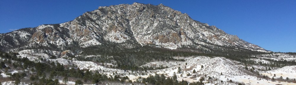
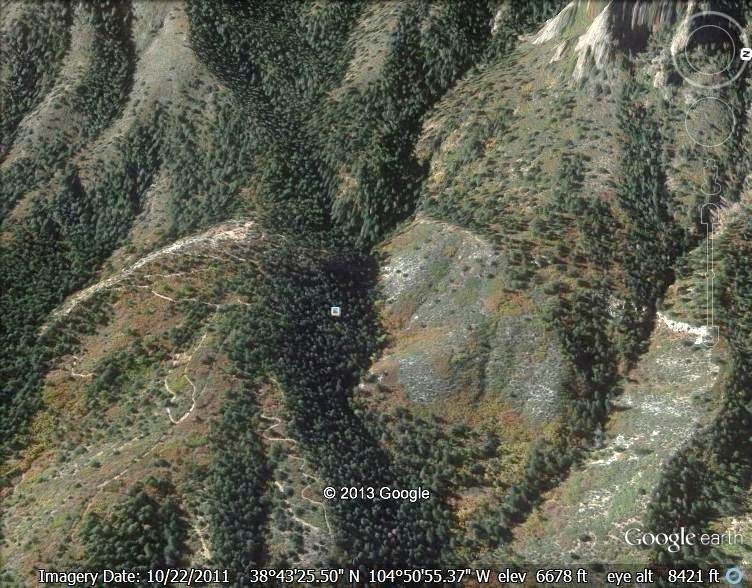
This shows the base of Cheyenne Mountain at the top of the image and the Limekiln drainage oriented east to west in the center of the image. The Dakota sandstone hogback is shown as a tree less line oriented north and south on the left side of the tree filled drainage. The Talon trails are shown on the left side of the image.
The Limekiln water-gap and Lyons sandstone hogback is shown as a treeless line oriented north and south on the right side of the drainage.
The Ute Pass fault is not visible but is located between the granite at the base of the Cheyenne Mountain and the Dakota and Lyons outcrops. It extends north and south through the west side of the park and continues north through Ute Pass.