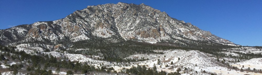
| Have you ever wondered how the trails at Cheyenne Mountain State Park got their names? |

The origin of how each of the trails in CMSP got their names is outlined below. The meaning of some trail names may seem obvious, but many others are not quite as straightforward. Many of these names were inspired by experiences, animal sightings, or signature qualities that characterize a particular trail. Others memorialize the legacy of someone special, or honor Native American folklore and important historical figures.
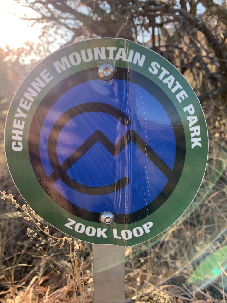
Zook was the nickname of a young man who was in his Senior year at Purdue University studying Environment Engineering when his life ended in a tragic accident. Zook’s love for the outdoors and ties to the Rocky Mountains compelled his family members, friends, and roommates at Purdue University to help build this trail in 2003 due to his love for the area. They also helped with other trails at CMSP in 2004 and 2005. Since this trail was named, Colorado Parks and Wildlife only name trails after historical figures. Zook’s family are long-time supporters of CMSP and wish to remain anonymous.
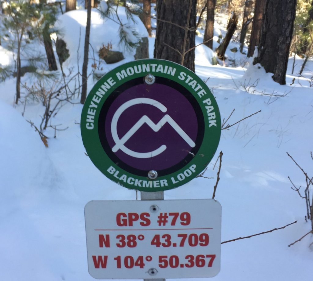
There was a Blackmer Trail that ran along the base of the mountain that was named after a lawyer back in the era of Spencer Penrose. It was used to connect to their home base to Emerald Valley Ranch (on Gold Camp Road) and another ranch on Turkey Creek in what is now part of Fort Carson. When this trail was built it “reflected” memories of the original Blackmer Trail so that is how it got its name.
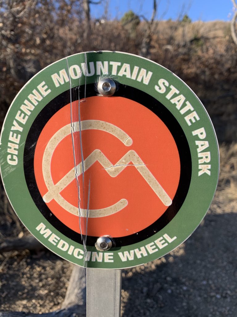
Medicine Wheel and Cougar Shadow are both associated with a group in town called Medicine Wheel Trail Advocates who encourage and help build and maintain mountain bike trails throughout the Pikes Peak region. Both trails are open to hikers and bikers, but were designed with mountain bikes in mind, and therefore look a bit different from our other trails. They tend to be much narrower (18’) and generally more gnarly than our other trails. Medicine Wheel is obviously named after the club itself. Cougar Shadow was primarily built by one dedicated member of the club. His name was Dave Jewitt, and while he was up there working, he often said he felt like he had some feline friends who kept an eye on him as he worked.
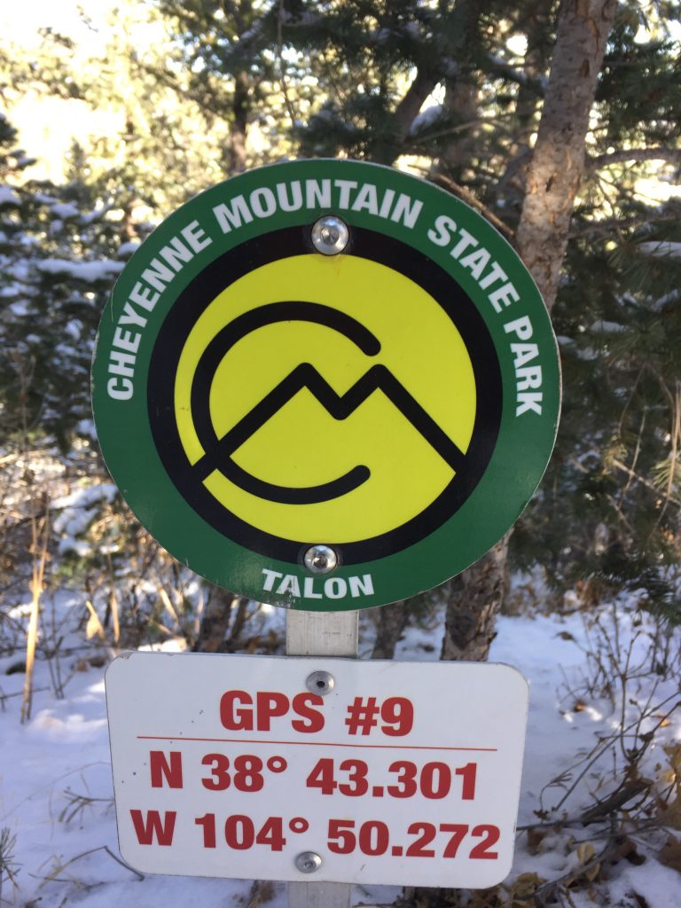
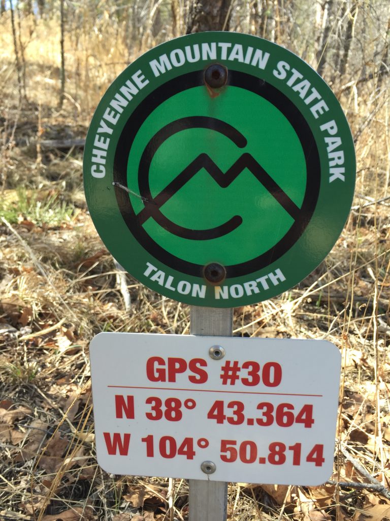
The North Talon, Talon and South Talon trails dominate the southern part of the park. If you were a member of the Raptor Monitoring Volunteers, you would know Golden Eagles, Red-Tail and Cooper Hawks, are often seen along these trails. Talon seemed like the perfect name for these trails in relation to the sharp, hooked claws found on these birds of prey.
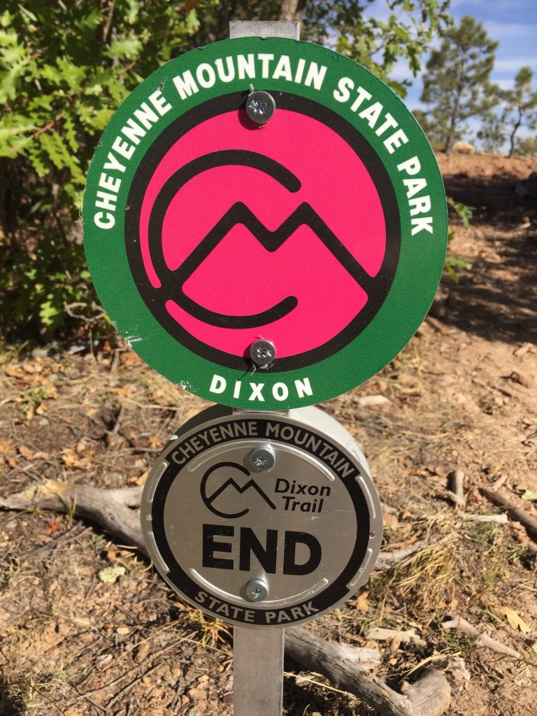
Who could forget the notorious Dixon Trail, the most strenuous and physically challenging trail in the park that goes up to the top of the mountain. It pays homage to Thomas J. Dixon, a rancher who homesteaded land on the middle summit of Cheyenne Mountain. He and his mules built the “old bones” of what is now a significant part of the new Dixon Trail. It was Jack Busher, the parks trail coordinator, who was responsible for naming this trail. Back in 2010 when the volunteers first began their work on the trail they sometimes referred to it generally as the ‘trail to the top of the mountain’ (or TOM for short). After recalling the story of Mr. Dixon and his mules, Jack began referring to it as the Dixon Trail. It seemed to stick, and that became the trails official name.
As an interesting sidenote, there is another trail located on the west side of Cheyenne Mountain (outside the park’s boundaries) that is also named after a homesteader who built on the middle summit. His name was Swischer. Most (or all) of the Swischer Trail is built on US Forest Service land and was given that name long before the Park was even dreamt of.
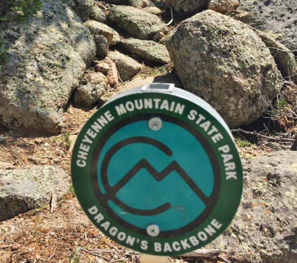
Mountain Loop is a trail atop the middle summit of Cheyenne Mountain that connects to the upper Dixon trail near the old Dixon homestead site. This trail joins up with Dragon’s Backbone, a ridge-top trail that follows the extreme eastern edge of the middle summit before returning to Dixon. The name Dragon’s Backbone pays homage to an old Native American legend. As the story is told, the Heavenly Spirits became increasingly unhappy with people and their bad behavior and decided to wash them away in a flood. The great Native American God called Manitou, sent his loyal dragon lizard to earth to drink up all the water, but he became so waterlogged and bloated that he was unable to move, eventually died and turned to stone. When you look at the Cheyenne Mountain ridgeline from a distance it looks just like the body of a petrified dragon.
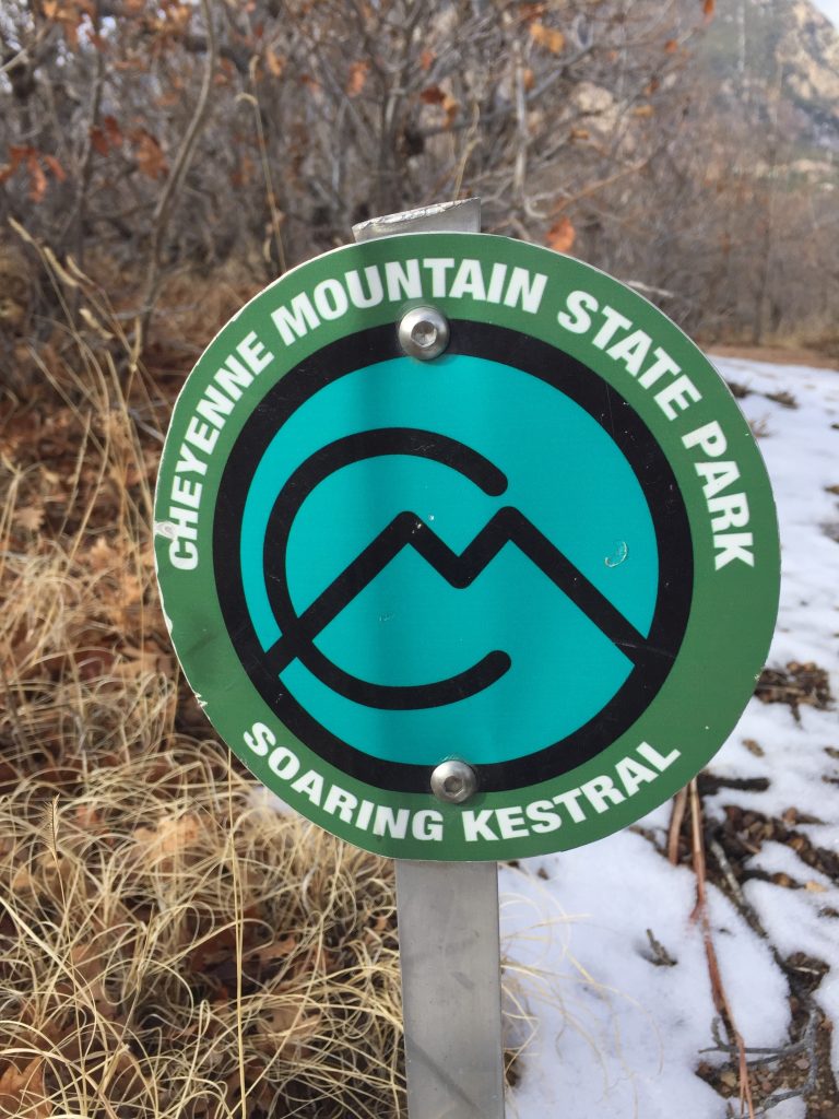
Soaring Kestrel got its name because as it was being built the sky above that area of the park seemed to be a haven for these small but beautiful raptors. Even today American Kestrels are often seen along Hwy. 115, just to the east of the trail.
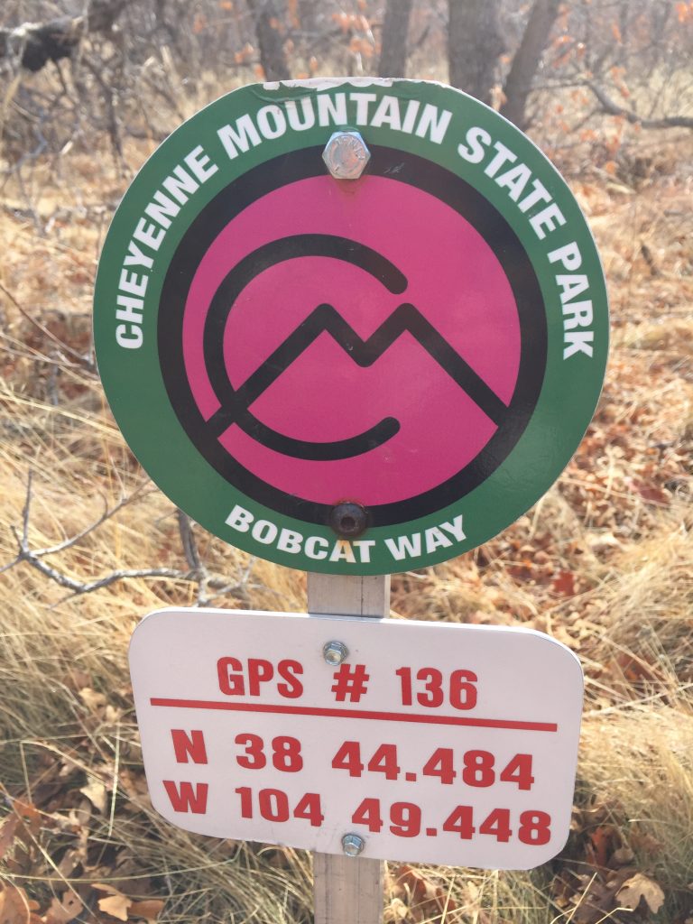
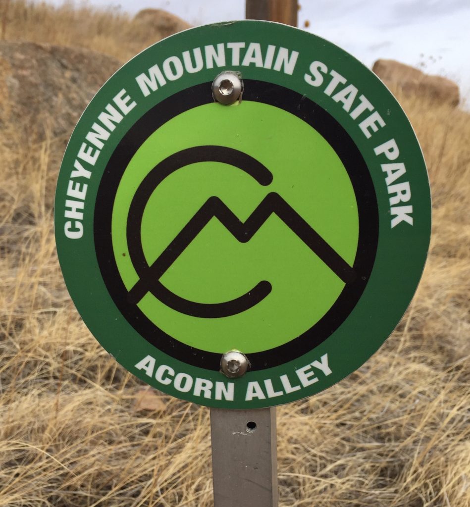
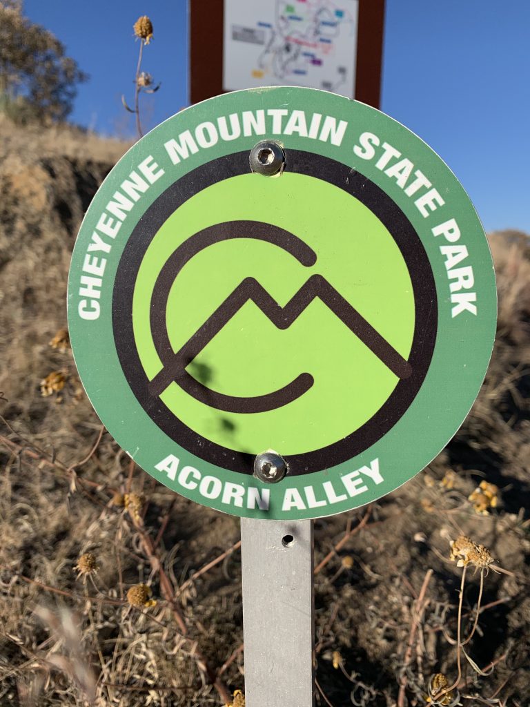
Bobcat Way, one of the more northerly trails in the park, was often visited by a family of bobcats that seemed to prefer that area. Another Northern trail is Acorn Alley, which like many of our trails is surrounded by Gamble (Scrub) Oak, a shrubby looking tree that produces an abundance of acorns. We heard that Monique Mullis (the Former Head Ranger and new Administrative Assistant at CMSP) was responsible for naming Acorn Alley. Way to go Monique!
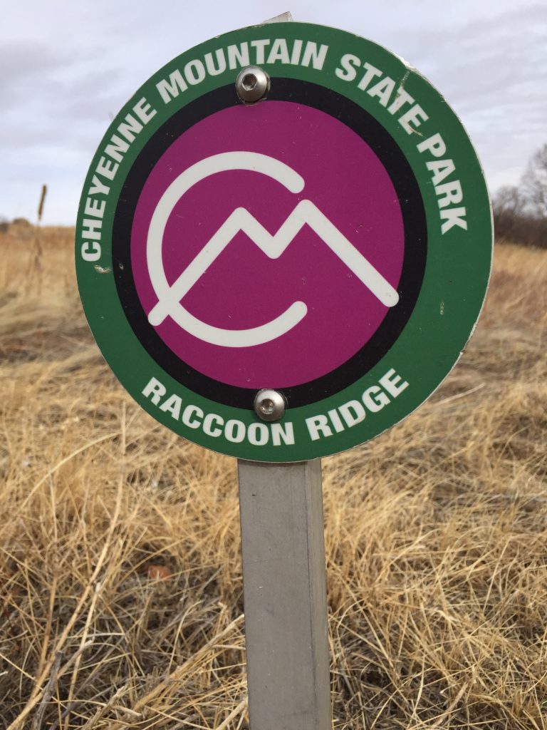
Racoon Ridge surrounds the Swift Puma Campgrounds. Though we have no verification of this, we suspect there were several racoon families who liked to camp in that area.
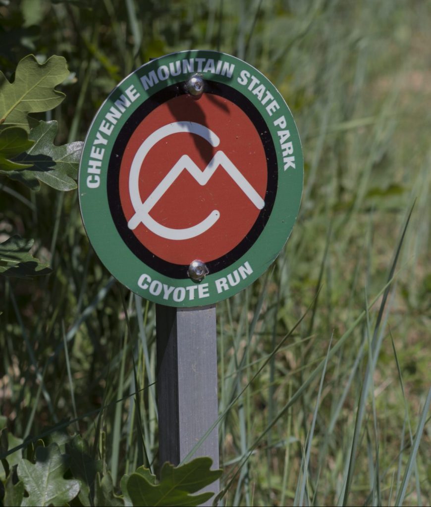
Coyote Run takes off just behind the Visitor Center. The meadows that surround the VC often saw a number of these canines, which became the inspiration for this trail name.
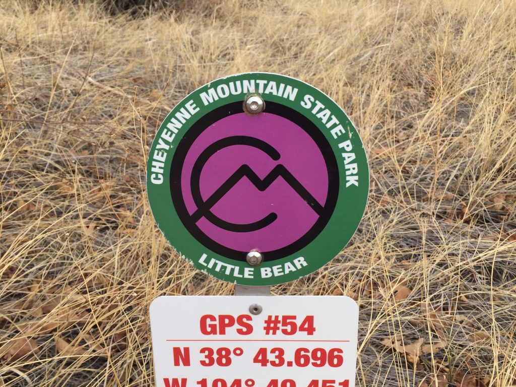
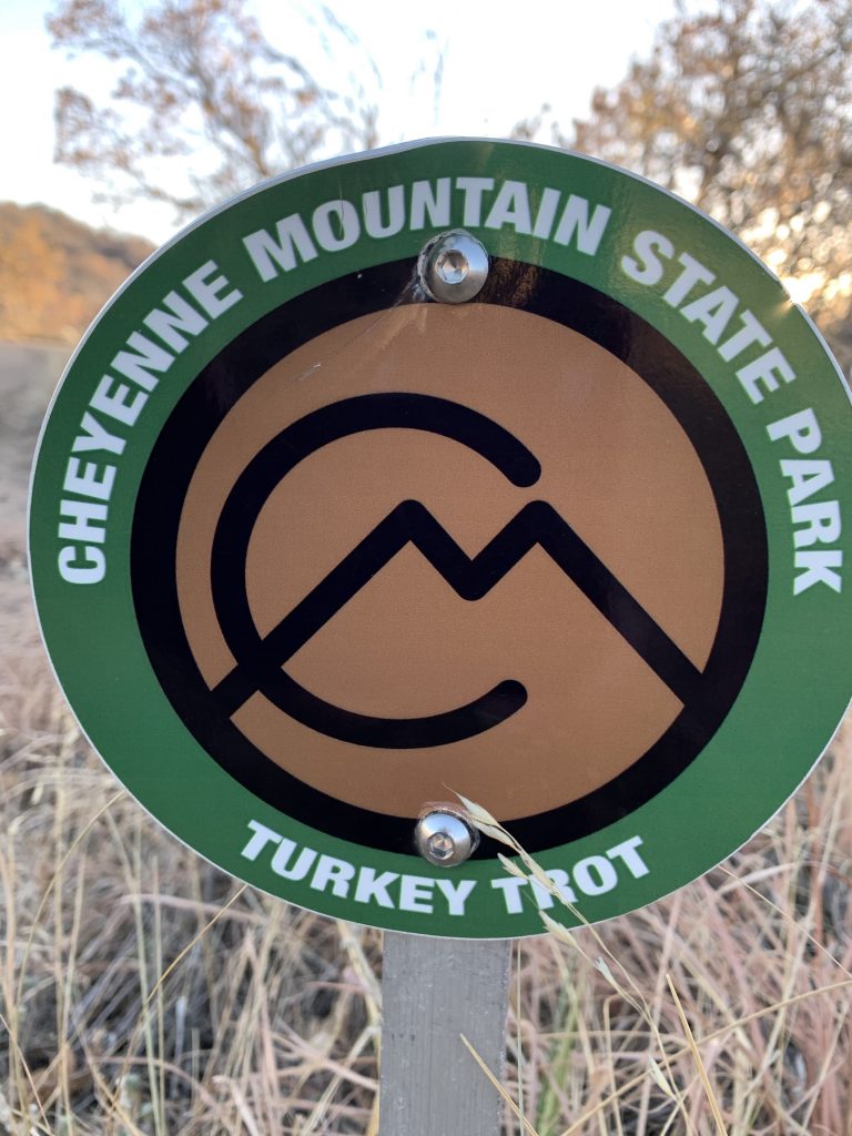
Little Bear and Turkey Trot are both what have been called connector trails. Turkey Trot connects Zook Loop and Talon while Little Bear, the shortest named trail in the park, connects Talon and Sundance. They both allow hikers, bikers, and runners an opportunity to vary their routes. We can only speculate that these trails were named after wild turkeys and bear sighting in the park, but we have been unable to confirm that.
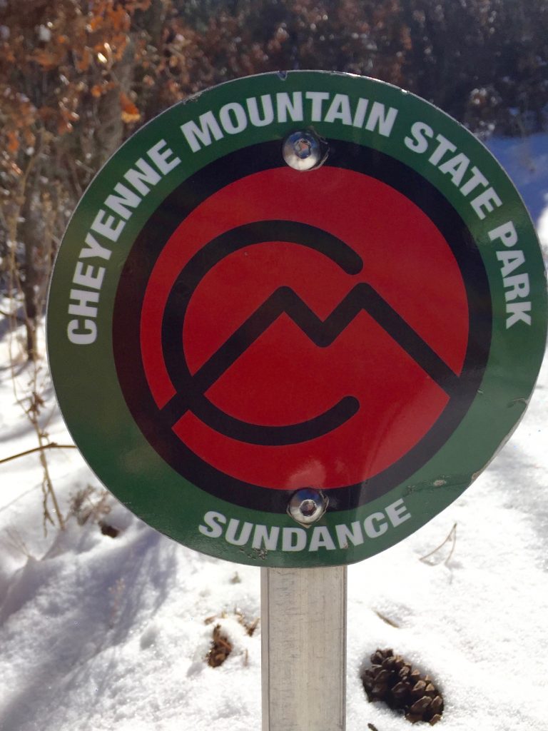
Sundance Trail is the longest single trail in the lower park. It begins just down the steps from the Limekiln Trail Head Parking Lot. A clockwise route initially heads east, then south as it parallels Hwy. 115. Eventually it crosses over Talon and then circles back around a prominent knob to return to the trailhead. The origin behind the name of Sundance Trail remains a mystery, and we are not even able speculate on its meaning.
Bear Track: A relatively new park trail serves the Field Archery Range on the south side of Pine Oaks Road. It is an interesting, though seldom used trail shaped like a balloon on a string. Park at the Archery Range, cross Pine Oaks and step onto the “string” and head south till you reach the loop near Target #18. Take your pick to follow the loop clockwise or counter-clockwise. Naming this trail Bear Track just made sense because of bear activity in the area.
A final note about the park’s trails. They are all open to hikers and bikers, though bikers are not allowed on the upper portion of the Dixon Trail. Portions open to Equestrians are Eastern Sundance, Parts of Talon, all of North Talon, South Talon and half way up the Dixon Trail. The restriction of horses and bikers on upper Dixon are in place because of some very extreme sections of the trail. All of Racoon Ridge, some of Soaring Kestrel, and all of Acorn Alley are open to dogs.
A huge thank you to Jack Busher, Jeremy Agnew, Monique Mullis, and Pat Cooper who collaborated and shared information that allowed us to pull this document together.
We hope you enjoyed learning about the names of all the trails in CMSP.